
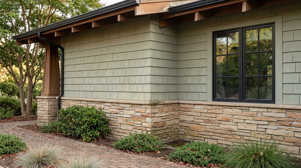
If you're preparing to list a home in Montrose this year, there's a piece of paperwork that changed underneath you sometime in the last seventeen months, and it has nothing to do with your roof, your landscaping, or how far your house sits from the Angeles National Forest. It has to do with wind.
In March 2025, the state redrew the fire hazard map that governs what you must disclose when you sell. For hillside parcels in La Crescenta and the upper canyons, that update was expected. What surprised agents and homeowners across flat, walkable blocks near Honolulu Avenue is that the reclassification reached them too, not because their lot changed, but because the map now accounts for something a homeowner can't fix with better landscaping: which direction the embers travel when the wind comes off the Verdugo Mountains.
What the March 2025 map actually did
CAL FIRE released its 2025 Recommended Fire Hazard Severity Zone maps in four phases between February and March of that year, with the final phase covering Southern California landing on March 24, 2025. Under state law, once CAL FIRE recommends a hazard level for a parcel, the local agency responsible for that area cannot adopt anything lower. A city or county can classify a property as more severe than the state recommends. It cannot classify it as less.
That detail matters because it means the state's March 2025 numbers function as a floor, not a suggestion. If your parcel came back Very High on the state's recommended map, no amount of local pushback lowers that designation before it takes effect locally.
Why the reclassification reached flat ground
The counterintuitive part of the 2025 update is what it did to areas that don't look like fire country. Local news coverage of the release specifically called out Glendale as newly falling into the Very High risk category, attributing it to wind-driven ember exposure originating from the Verdugo Mountains rather than to slope, brush, or proximity to a canyon on the parcel itself. A flat lot two blocks from a shopping district can carry the same designation as a home tucked against open hillside, because the map is modeling where embers land during a wind event, not just where fuel sits on your property line.
That band, the foothill zone running along the base of the Verdugo Mountains, is explicitly named in fire-hardening guidance covering Glendale, La Crescenta, and Sunland-Tujunga. Montrose sits inside that band on both sides of its municipal line. A homeowner on a level street who has never thought about defensible space is now transacting under the same disclosure framework as a hillside neighbor, because the mountains that create the ember risk don't respect the flatness of the street below them.
Here's the shift in plain terms:
| Before the March 2025 update | After the March 2025 update | |
|---|---|---|
| Flat, non-hillside parcel near a Glendale-side shopping district | Often outside Very High designation | May now fall inside Very High, based on wind exposure modeling |
| Seller's last Natural Hazard Disclosure report | Reflected the prior map | Must be reissued against current data to stay accurate |
| Assumption a homeowner might carry into listing | "I'm not on a hill, this doesn't apply to me" | No longer a safe assumption for this specific band |
What this actually triggers at your listing appointment
The reclassification isn't cosmetic. It attaches two concrete obligations that show up before you sign a listing agreement, not after.
The first is the home hardening disclosure created under Assembly Bill 38, in effect since July 1, 2021 for any residential sale inside a High or Very High Fire Hazard Severity Zone. This isn't a pass or fail inspection. You're not required to retrofit anything before selling. You are required to state, in writing, the condition of specific features, roofing material, vent screening, eave enclosure, and window glazing, using the standardized form built for this purpose. If your home was built before 2010 and sits in a designated high-risk zone, that disclosure has to get specific about what hardening measures exist and which don't.
The second obligation sits inside the Natural Hazard Disclosure report itself. If your parcel reads as Very High on the current map, that status has to appear in the NHD your buyer receives, and it has to be pulled from the 2025 data, not from whatever report your agent's vendor generated two years ago for a different transaction. A stale NHD isn't a paperwork shortcut. It's a disclosure built on the wrong map.
Buyers are reading these forms more carefully than they did before. Following the January 2025 fires in Los Angeles County, agents and buyers alike have been paying noticeably closer attention to fire hardening disclosures than in prior cycles, which means a Montrose seller who treats this as a formality is negotiating from a weaker position than one who arrives with documentation already in order.
The jurisdiction line adds a second wrinkle
Montrose isn't a single municipality. Part of it sits inside the City of Glendale, and part sits in unincorporated Los Angeles County territory around La Crescenta. That split matters here for a reason distinct from zoning or permitting. The state releases its recommended map on one calendar, but individual jurisdictions adopt that recommendation into local ordinance on their own timelines. Ventura County, for comparison, didn't formally adopt its 2025 recommended zones until a board vote in May 2025, with the new local designation taking effect that July, months after the state map itself came out.
The practical takeaway for a property near the Glendale and La Crescenta line is that two homes a few blocks apart, one under city jurisdiction and one under county jurisdiction, can be operating under different adoption timelines even though both are subject to the same underlying state data. Don't assume your neighbor's disclosure status tells you anything about your own parcel. Check yours directly.
What to do before you list
- Look up your specific parcel on the state's current map rather than relying on a prior sale's paperwork or a neighbor's status. The Office of the State Fire Marshal maintains a public address lookup tool built for exactly this question.
- Confirm your home's construction year. The specific hardening disclosure requirement is tied to homes built before 2010 in designated high-risk zones, so this single date changes what you're required to itemize.
- Order your Natural Hazard Disclosure report after confirming which map version it's pulling from. If your escrow or agent's vendor hasn't updated their data source since the March 2025 release, ask them to reissue it.
- Fill out the fire hardening disclosure form based on what's actually installed, roof material, vent type, eave condition, window glazing, rather than estimating. Glendale's own fire department maintains current guidance on this exact disclosure for properties inside city limits.
- If your property sits near the Glendale and La Crescenta boundary, verify which jurisdiction's adoption timeline governs your parcel rather than assuming uniform treatment across the block.
Questions worth asking before you sign anything
Does a Very High designation mean my house is unsafe? No. It's a disclosure trigger, not a habitability finding. The designation tells a buyer what to ask about. It doesn't say the home fails anything.
Is this the same as my annual brush clearance notice? No. Seasonal vegetation management notices from the fire department are a separate, ongoing obligation. The AB 38 disclosure is a one-time documentation requirement tied to the sale itself.
If my last sale's paperwork said Moderate, can I reuse it? Not safely. The whole point of the March 2025 update is that classifications moved. A report generated before that update reflects a map that no longer governs your disclosure obligation.
A house that hasn't changed can still carry a different set of obligations than it did seventeen months ago, and the only way to know where you actually stand is to check the current data rather than the last transaction's file. If you're weighing a sale in Montrose and want a clear read on what your specific parcel requires before you list, Vonsale Jackson offers a free consultation and home valuation to walk through exactly that.